 01
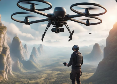
01DGCA Certified Drone Pilot Training
Your gateway to unlocking the skies as a certified drone pilot. Flying a drone commercially in India requires a pilot certificate from the DGCA — similar to a driving licence for the road. As drones become integral to more industries, demand for skilled, knowledgeable pilots keeps rising. This course blends our flying-curriculum expertise with DGCA guidelines, training candidates to fly confidently and understand real-world applications.
 02
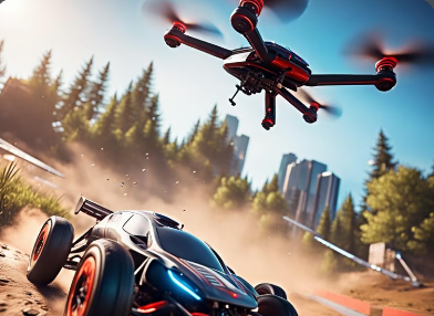
02Drone Racing Course
Drone racing has taken the world by storm — a thrilling, futuristic form of entertainment built on the latest technology and software. This module lets you craft your own racing program, covering both line-of-sight racing and First Person View (FPV) racing for a truly immersive experience. As racing clubs spring up across the country, it's a perfect way to sharpen your skills or simply race with like-minded people.
 03
03Aerial Cinematography
Drones have reshaped cinematography, giving filmmakers angles once possible only through costly production setups. Independent filmmakers and small production teams can now achieve the same aerial perspective without large budgets — a shift that has opened creative avenues across the film and video industry.
 04
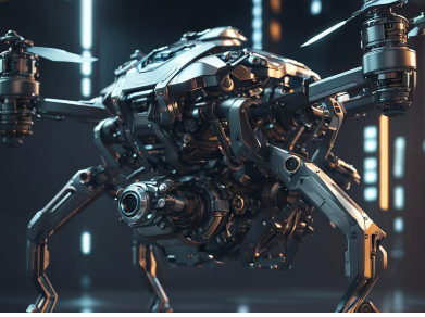
04Drone Building Course
Build custom-made drones from the ground up with expert guidance on campus. This program also introduces mechatronics — a field spanning robotics, hardware-electronics integration and computer science — giving students exposure to electronics, robotics, mechanical systems and telecommunications alongside the thrill of building a working aircraft.
 05
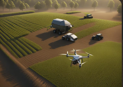
05Drones in Agriculture
Drone technology is transforming the oldest method of ground cultivation. High-resolution cameras let farmers monitor crops, identify problem areas, and make informed irrigation, fertilization and treatment decisions — increasing yield, improving efficiency, and covering large fields quickly and safely.
 06
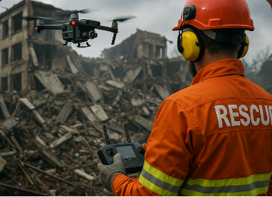
06Disaster Management with Drones
Unmanned aerial vehicles offer a bird's-eye view of disaster landscapes, helping assess damage and formulate response strategies within defined timelines. This is especially valuable in remote or hard-to-access areas, where real-time imagery — even in hostile terrain — enables faster, better-informed decisions.
 07
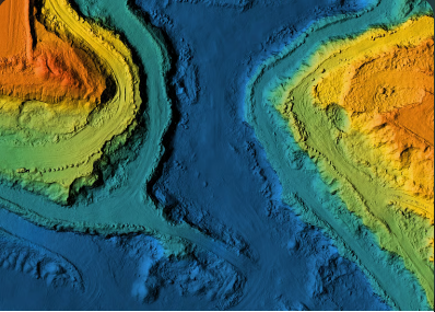
07GIS & Drone Data Processing
A comprehensive module in photogrammetry and remote sensing, teaching you to turn raw drone data into accurate, actionable outputs. You'll work with current GIS tools and techniques and finish confident in processing and analyzing a wide range of spatial data.
 08
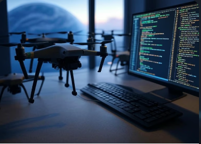
08Implement Python for GIS
Python powers automated tools across the GIS industry. This in-house module, built by industry experts, teaches automation of desktop tools for remote sensing, spatial analysis and photogrammetry — the same skillset used to design custom GIS toolbox solutions across the field.